
A Multi-Benefit Approach to Flood Protection in California
Protecting People, Restoring Rivers
Regional Planning
Working Together at the Local Level
Sacramento River runs high, January 2017.
Credit: Pacific Southwest Region USFWS
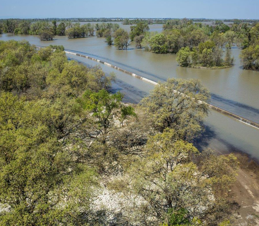
Fremont Weir allows designated areas to flood during times of high water.
Credit: Daniel Nylen
A New Risk-Based Approach to Flood Protection
The Central Valley Flood Protection Plan moves beyond the outdated concept of “flood control” and instead focuses on reducing flood risk. The new plan encourages state and local agencies to use both structural elements, such as levees, to reduce the probability of flooding as well as non-structural measures, like building restrictions, floodway expansion, and floodplain restoration, to reduce the consequences of inevitable floods.
Hurricane Katrina in 2005 and the spillway failure of Oroville Dam in 2017 highlight the problems of relying on dams and levees to control floods. Regulating development on low-lying floodplains and strategically setting back levees to expand floodways gives rivers enough room to safely accommodate large floods.
The Role of Regional Plans
Cities, counties, and regional public agencies are encouraged to reconsider land use planning designations to minimize risk to people and property while maximizing additional public benefits.
Multiple-Benefit Projects
Expanding floodways and restoring floodplains enables communities to advance a multi-benefit approach to flood management, which better protects communities from extreme flood events while providing water quality, recreation, habitat, and agricultural benefits 365 days a year.
Sacramento River runs high, January 2017.
Credit: Pacific Southwest Region USFWS
Fremont Weir allows designated areas to flood during times of high water.
Credit: Daniel Nylen